Most people find us for the video. Here is what happens next.
Our traffic tells a clear story: people come for the flythroughs and the aerials. The same pilot and the same aircraft can also map a site to the centimeter and find a failing motor with a thermal camera. Here is how those fit together.
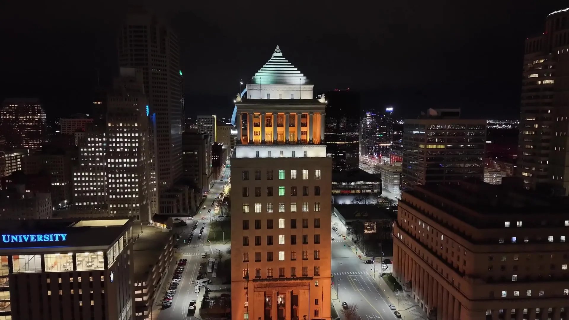
If you found this site through a restaurant flythrough or a skyline reel, you are in good company. Most of the people who reach out to Midwest Aerial Precision have seen the creative work first. That is the fun part of the job and we are proud of it.
What surprises people is what happens on the second conversation. A builder who hired us for a listing video asks whether we can document the next phase of the subdivision. A restaurant group wants a roof looked at after a storm. A plant manager who saw our reel asks if a drone can reach the conveyor motors near the ceiling without a lift.
Three services, one visit
The aircraft we fly for cinematic work carries survey-grade positioning and can be swapped to a radiometric thermal camera. That means the same visit can produce marketing footage, an accurate map and an inspection report. You book one pilot, you get one invoice, and the data all lines up.
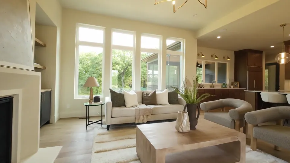
- Creative: aerial video, photography, interior flythroughs and social cuts.
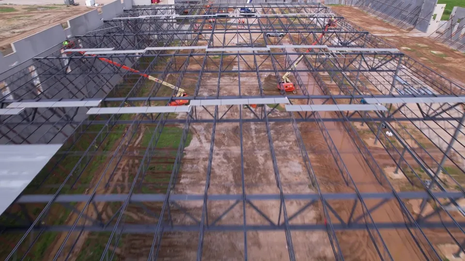
- Mapping: RTK orthomosaics, topographic surfaces, contours and volumetric reports.
- Inspection: radiometric thermal and high-resolution visual inspection with a per-asset report.
What to send us
You do not need to know which service you need. Tell us what you are trying to accomplish and where. If it is a video, tell us where it will be used. If it is a site, tell us what decisions the data has to support. We will come back with a plan, a price and a date.