
All workMapping
Residential Development Progress Mapping
RTK orthomosaic and surface model of an active subdivision, flown on a schedule so the builder can track earthwork, foundations and framing across the whole site.
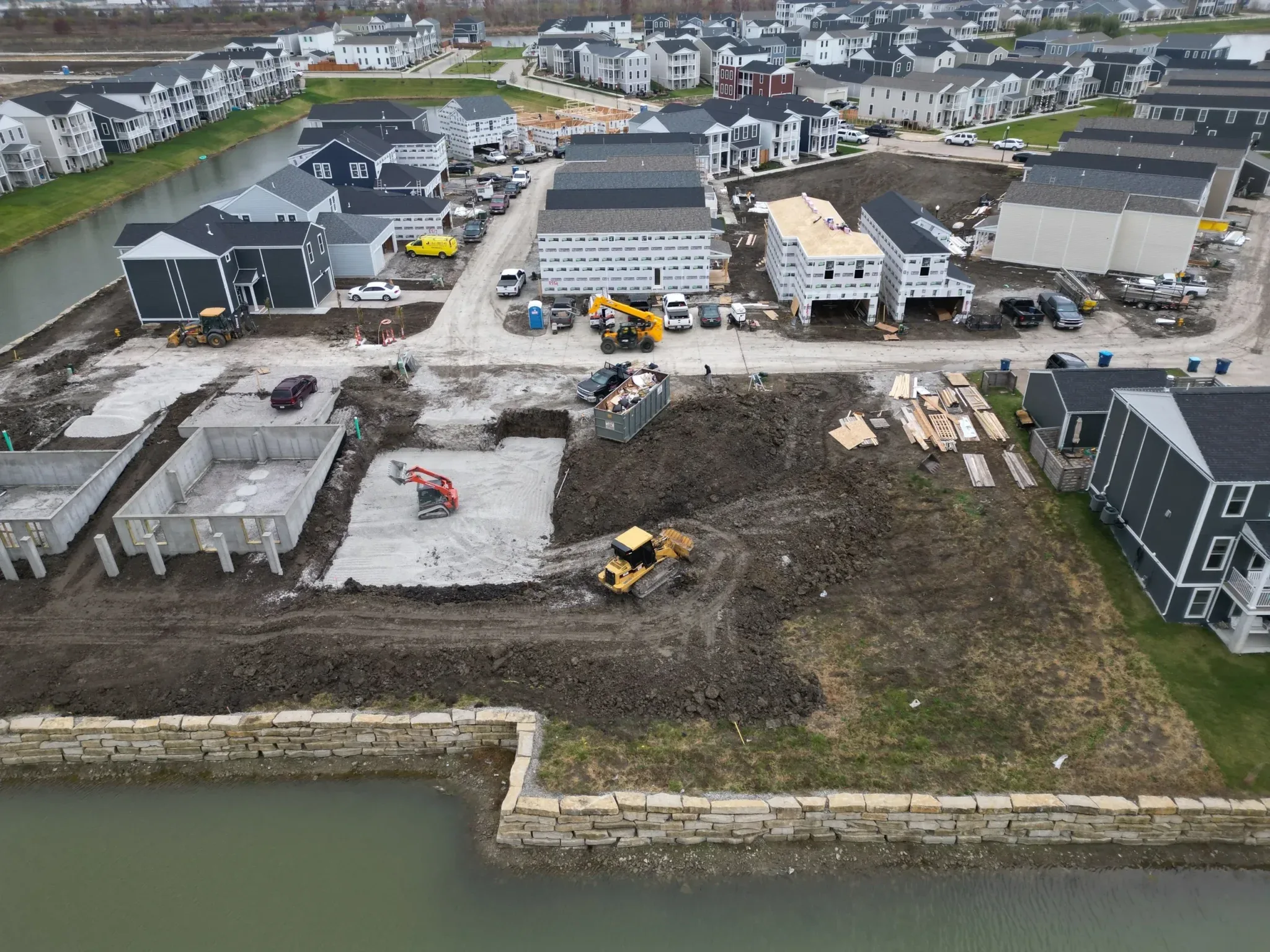
A single flight covers the whole development in less than an hour. With RTK positioning on the aircraft, each flight lines up with the last one, so progress comparisons are accurate rather than approximate.
Deliverables go straight into the builder’s existing workflow: a GeoTIFF for GIS and CAD, a surface model for earthwork checks and a shareable web map for the office.
Let's put your project in the air
Tell us what you are working on. We will come back with a plan, a price and a date.